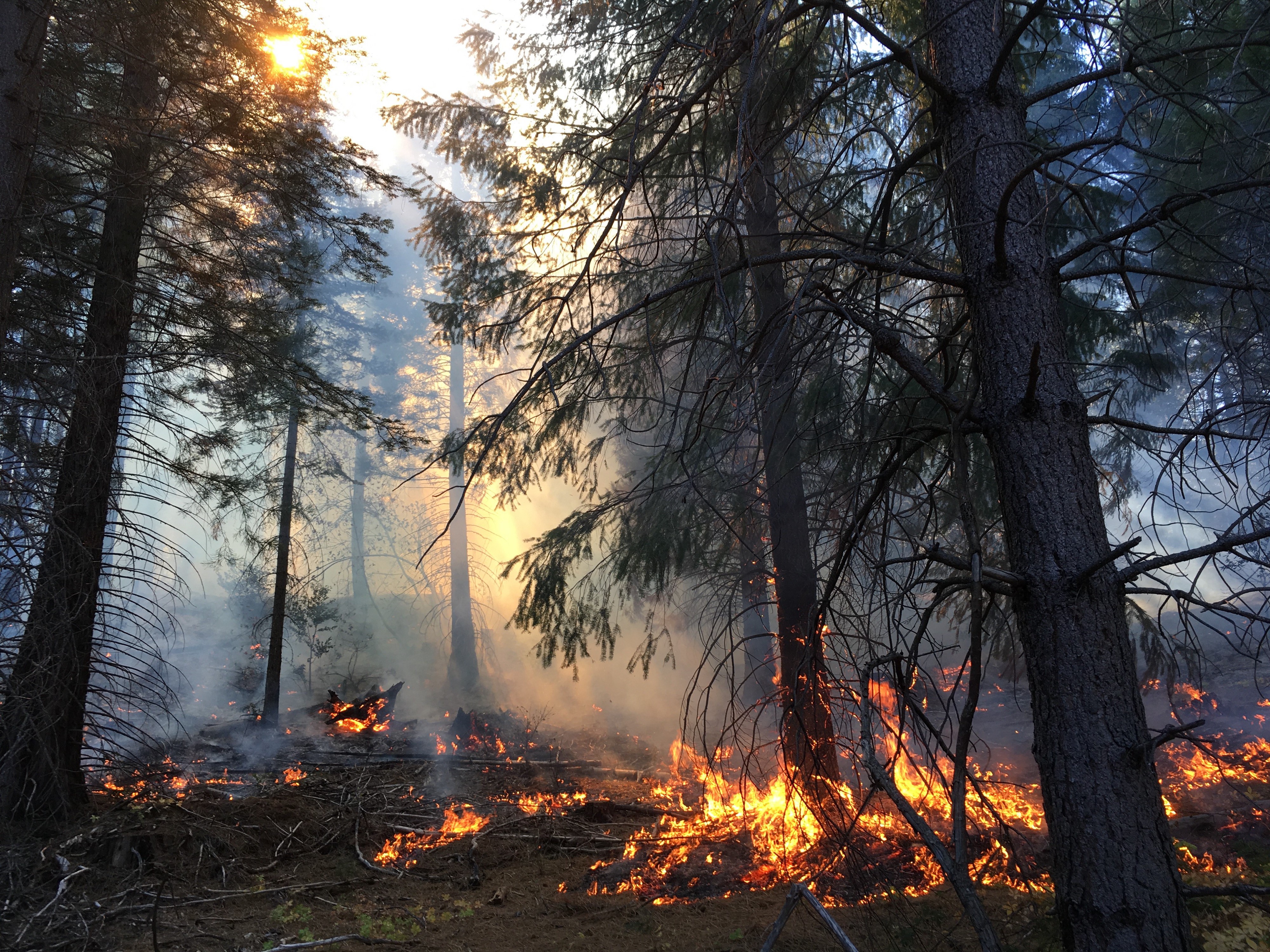
Where does a forest go when its climate disappears? This is not a metaphorical question. As temperatures rise and precipitation patterns shift across the western United States, the climatic conditions that define today's conifer forests are migrating — elevationally, latitudinally, and in some cases, out of the region entirely.
Climate analog modeling offers one way to answer this question. By identifying locations whose current climate resembles the projected future climate of a target site, we can ask: what grows there now? And how does that compare to what grows here today?
The question is not just whether a species can survive a warmer climate — it's whether the ecological community it depends on can reassemble fast enough to matter.
The Mahalanobis approach
At the core of the PROMOTE framework is a climate analog search using Mahalanobis distance — a multivariate measure that accounts for the correlation structure among climate variables. Unlike Euclidean distance, Mahalanobis distance is scale-invariant and treats correlated variables appropriately, making it well-suited for comparing climate spaces defined by temperature, precipitation, and moisture deficit.
We use five ClimateNA variables: mean coldest month temperature (MCMT), mean warmest month temperature (MWMT), summer precipitation (PPT_sm), winter precipitation (PPT_wt), and climatic moisture deficit (CMD). Precipitation variables are log-transformed to normalize their distributions. The inverse covariance matrix is calculated from the historical (1950–2000) climate record — a choice that ensures the distance metric reflects baseline variability rather than projected future conditions.
What the analogs reveal
Across the Sierra Nevada and Cascades, analog locations for mid-century projections (2041–2070, SSP5-8.5) typically fall 300–800 m lower in elevation and 200–600 km south of target sites. In practical terms, this means a lodgepole pine forest in the central Sierra might have its best climate analog in a ponderosa pine woodland in the southern Sierra or northern Baja California.
This finding — consistent across nine GCMs — has significant implications for management. It suggests not just species turnover, but structural reorganization: a shift from closed-canopy, moisture-limited systems toward more open, fire-adapted woodlands with fundamentally different disturbance regimes.
Ecological vulnerability across the RAD framework
The Resist-Accept-Direct (RAD) framework provides a useful lens for interpreting these analog distances. High climate change magnitude combined with high ecological transformation (as measured by phylogenetic distance metrics) suggests conditions where resistance strategies are unlikely to succeed — the window for managing toward historical conditions is closing.
Counterintuitively, we find that some of the highest climate change magnitude areas — the Colorado Plateau, Great Basin — show relatively lower phylogenetic transformation in their analogs. Meanwhile, moderate-change coastal forests show high ecological distance, suggesting that proximity to physiological thresholds matters as much as the magnitude of change itself.
More on this in a future post. The code and data underlying the PROMOTE framework are being prepared for public release alongside the companion manuscript.