 New
New
Research update
Climate analogs and the future of western conifers
How Mahalanobis distance modeling reveals where today's forests may be headed — and what that means for management.
Read →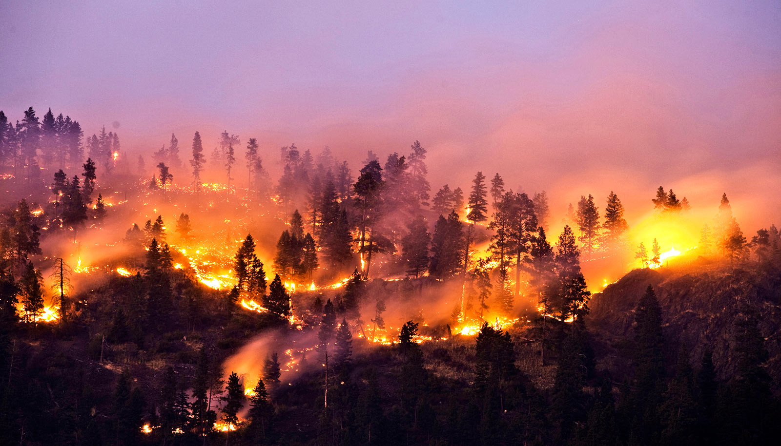
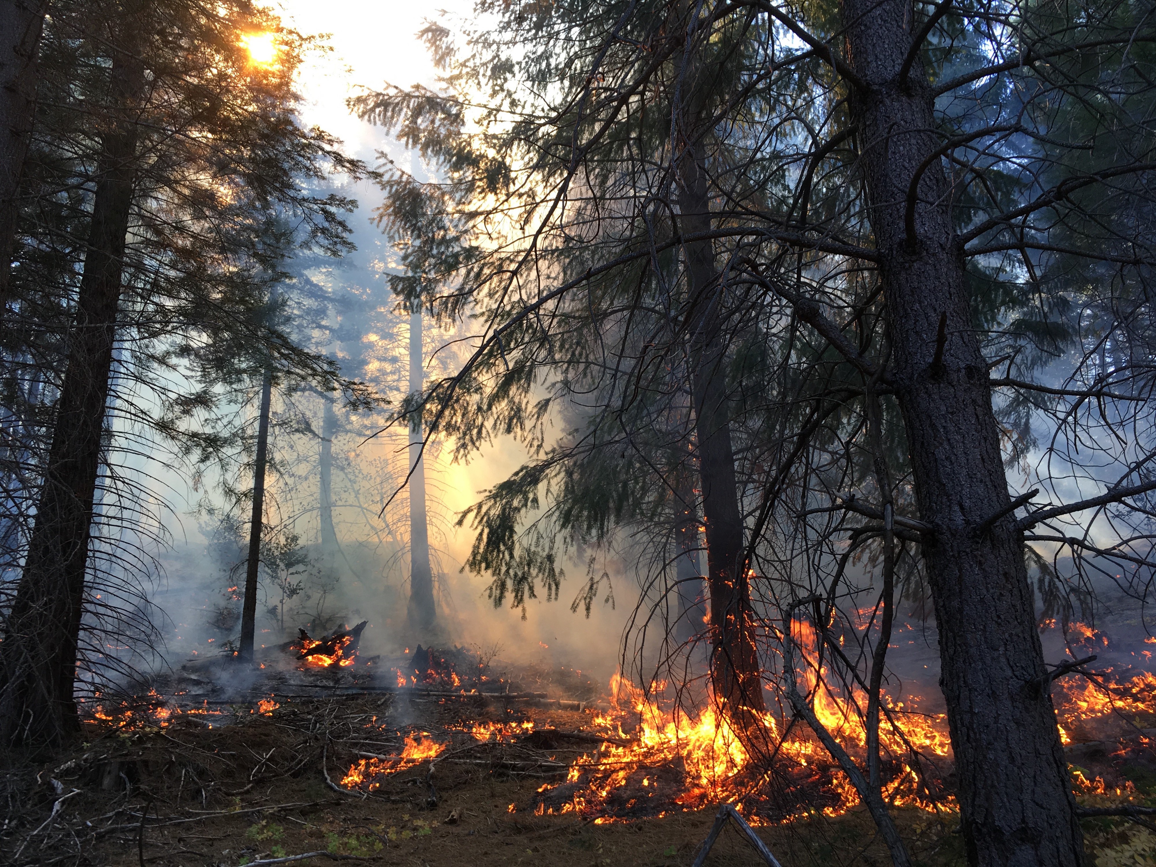
Landscape ecology · Decision support · Wildfire
Quantifying landscape resilience to disturbances and ongoing climate change. Spatial decision support tools for prioritizing ecological restoration and protection across western US forests and watersheds.
Explore
Background
The Ecosystem Resilience Cooperative represents a group of ecological researchers whose research is joined by the common goal of evaluating social and ecological resilience across large landscapes using quantitative methods and how climate change may impact resilient properties over time.
Ecosystem Resilience Cooperative
Lab updates & announcements
Field notes & research updates
Notes on ongoing research, methods, and observations from the field and the data.
New
Research update
How Mahalanobis distance modeling reveals where today's forests may be headed — and what that means for management.
Read → Coming soon
Methods
Exploring Aitchison distance and UniFrac as measures of compositional shift in analog vegetation communities.
Coming soon Coming soon
Field notes
Evidence from soil and terrain variables that local factors can partially offset regional climate pressure on conifer communities.
Coming soon
Coming soon
Tools & code
A walkthrough of the Resist-Accept-Direct framework operationalized at landscape scale using R and ClimateNA.
Coming soonDecision support tools
Spatially explicit decision support for forest and watershed management. Spin the globe and click a location to explore.
Drag to spin · Ctrl+scroll to zoom · Click a dot to open
Drag to spin · Tap a dot to open